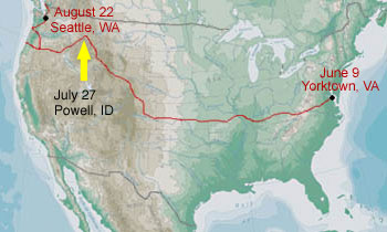
Day 49 - Saturday, July 27, 2002
Total to date: 3330.52 miles (5360.0 km)
Moving time: 5 hr 50 min.
Average Speed: 10.6 mph (17.1 km/hr)
Total ascent: 2215 ft. (675.1 m)
Minimum elevation: 3147 ft. (959.2 m)
Maximum elevation: 5183
Ending elevation: 3344 ft. (1019.3 m)
Wind: Variable breezes for first 13 miles; stiff 20 mph headwinds for 26 miles from Lolo to Lolo Hot Springs. Calm thereafter
I rode with Joe and Travis today after we said goodbye to Corrin. He is headed north from Missoula to catch the Northern Tier route to Seattle. Here are some shots of our camp at the Missoula KOA before leaving this morning.
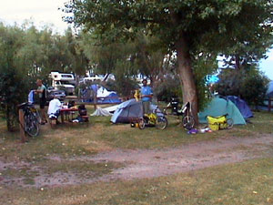
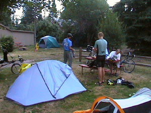
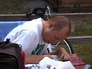
Travis | Corrin
First thing in the day I began a steady climb to the top of Lolo Pass over the course of 39 miles. Again the grades remain very managable and rarely exceed 5%. Eastbounders have some steeper grades but they are still not as hairy as those in the Appalachians and Ozarks.
There are two landmarks that I hit simultaneously today atop Lolo Pass - the Idaho border and the western time zone. I have had a habit of taking my picture at the border but Idaho offered no sign to welcome me. I intend to cheat by taking a picture of me with an Idaho sign at the Oregon/Idaho border.
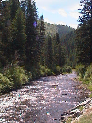
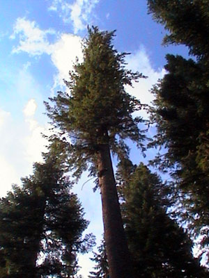
The trees here in Idaho are absolutely huge. The route goes through a grove of cedar trees that are absolutely huge. They are some of the largest trees I've ever seen in my life and cedars, no less. I always had the notion that cedar trees are among the smallest of the evergreens.
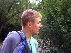
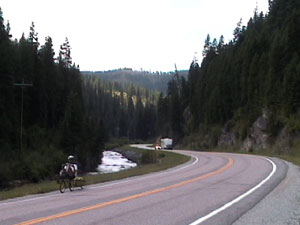 Here is a parting shot of me riding along a road in the Bitterroot mountains just before Lolo Hot Springs.
There are many, many hot springs in this region. The Lolo Hot Springs have been commercially developed and are well known in the region. Local residents and hot springs aficionados know of other springs that are off the beaten path in their natural setting. We got directions for some of them but didn't avail ourselves of the opportunity due to time constraints.
Camping: $0.00